

MOUNTAIN MAPPING – GIS/GPS
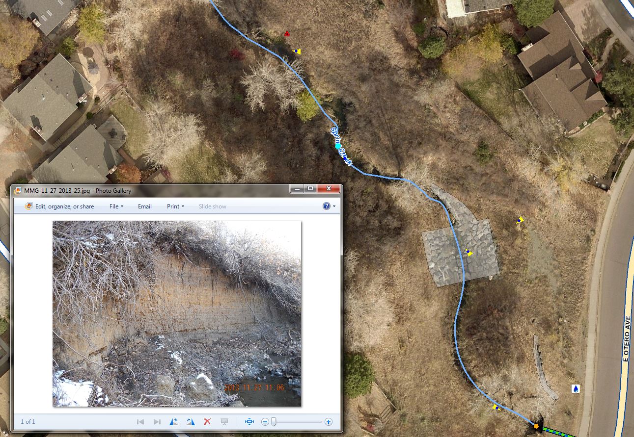
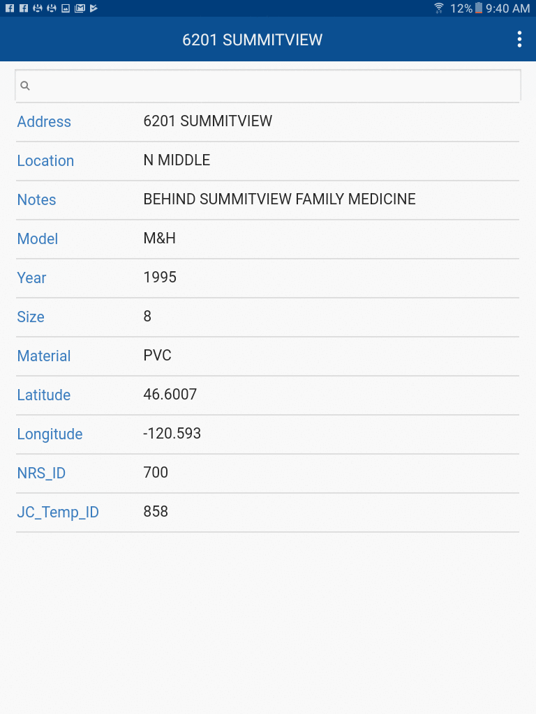
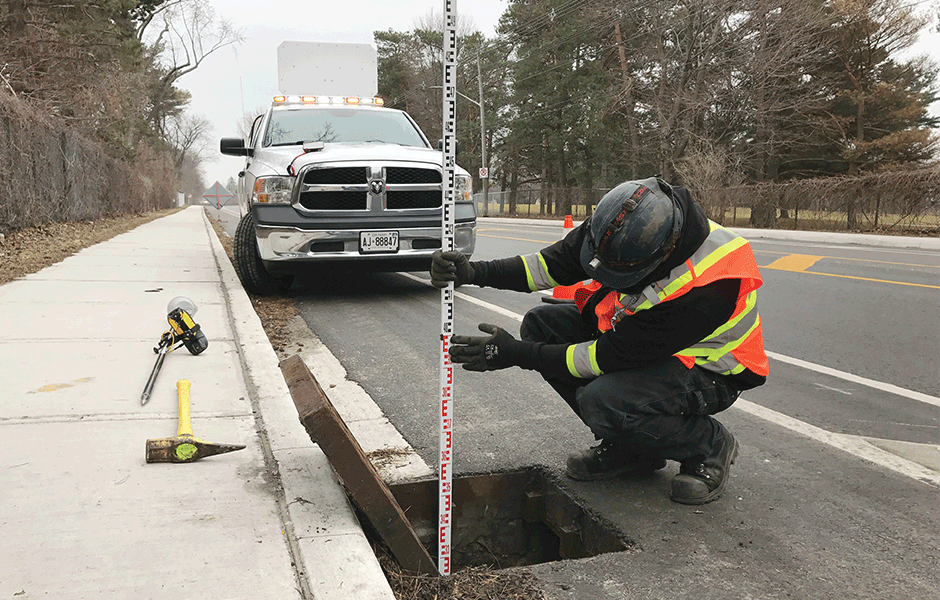
Are you planning to upgrade utility or other infrastructure, updating insurance coverage or scheduling utility infrastructure maintenance? Then mapping is a vital tool. As well as being an invaluable aid in planning and decision making, GIS data is now often required for meeting compliance regulations. Very often when applying for a license, permit or other permission, regulatory agencies are requiring applicants to submit maps and GIS data.
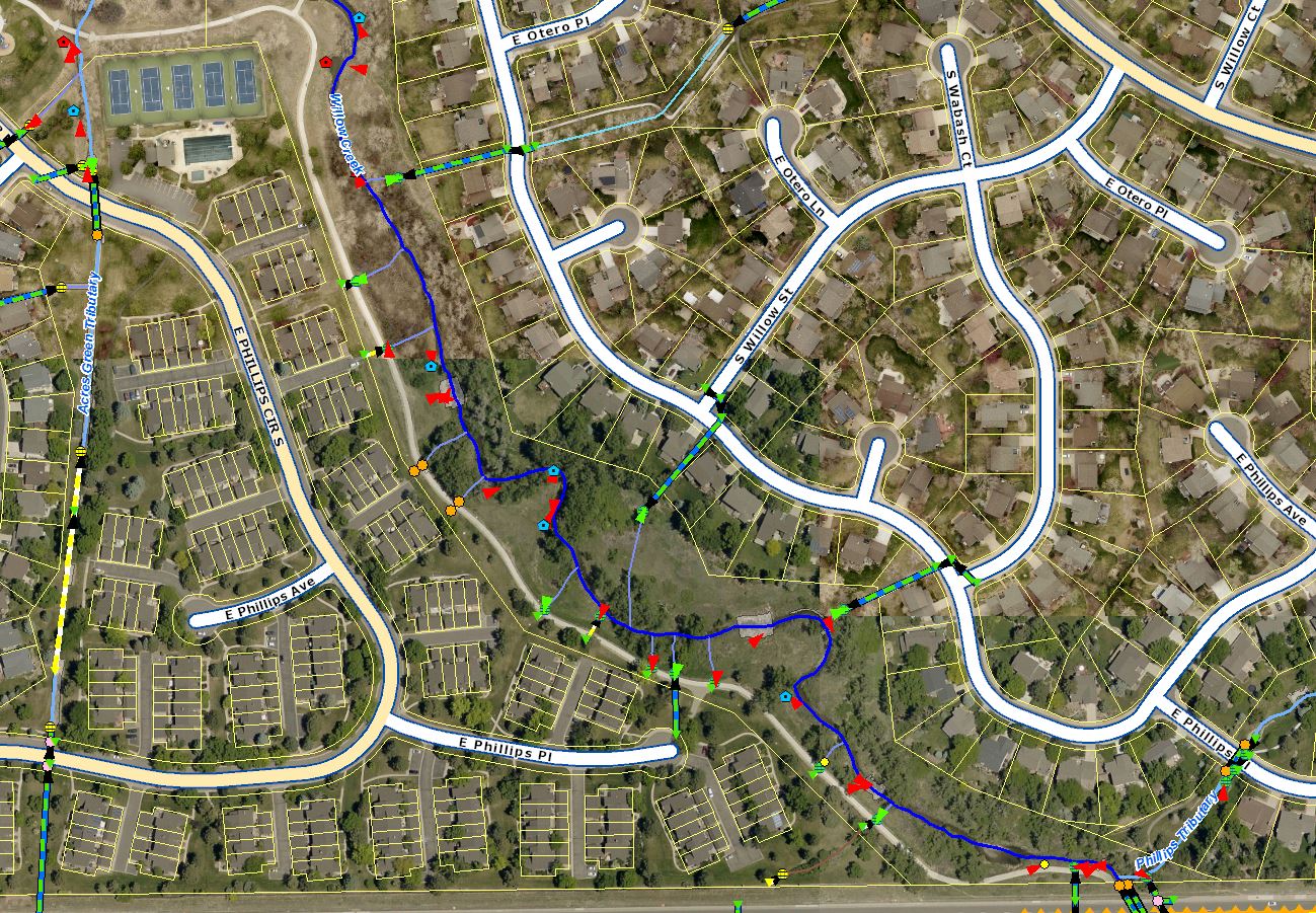
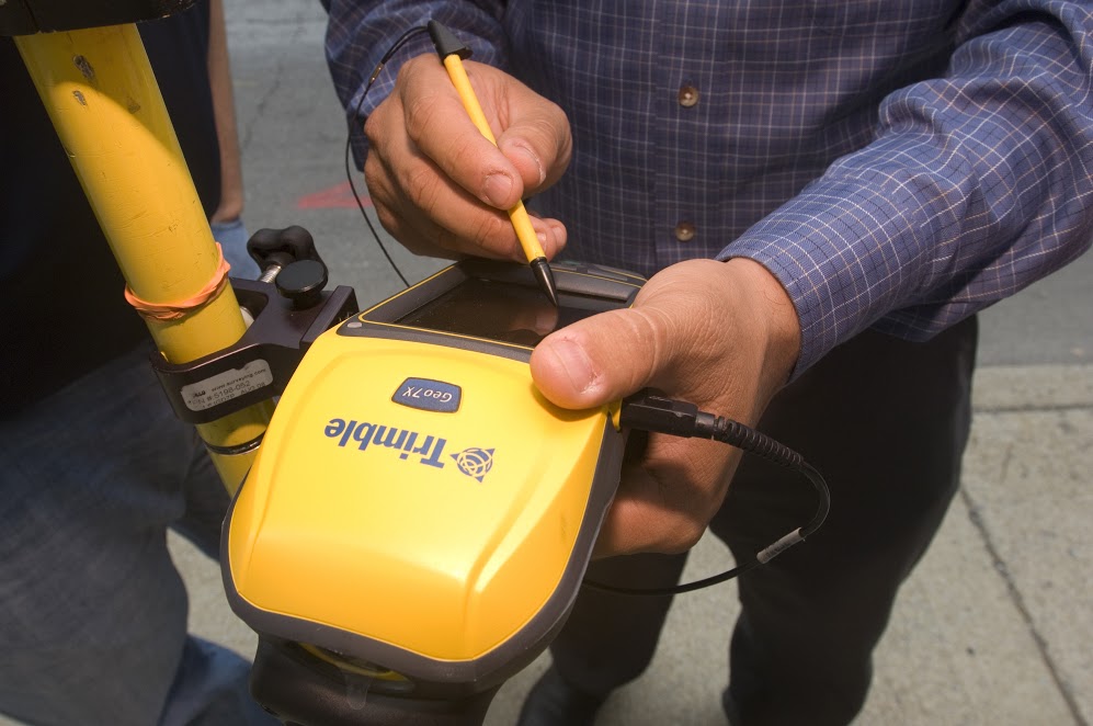
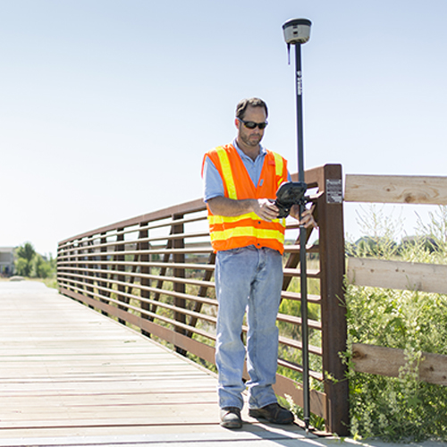
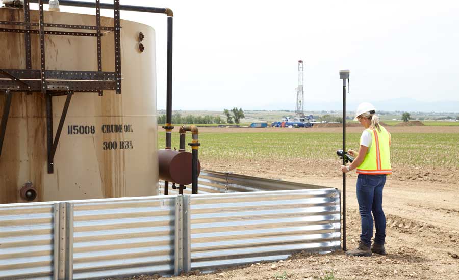
Mountain Mapping has many years and hundreds of projects of experience to draw on. We can provide end-to-end service, from planning, workflow and database design, through data collection, data processing and QA/QC, or we can aid you in choosing hardware and software solutions and staff training, so you can complete your work in house. Does your organization or company need someone to do the heavy-lifting of mapping all your existing infrastructure, and then train your staff to maintain that data and to map any new infrastructure or changes to the systems and networks. Mountain Mapping can deliver hybrid/customized services that best cater to your organizations needs.
Mountain Mapping can scale solutions for different organizations. We provide services for many customers who have one or fewer full-time GIS staff, up to large organizations with multiple GIS departments and disparate responsibilities. Even if you have no GIS staff at all, we can provide data collection services and host the data for you, providing access to either your staff, your customers, or both. No mapping project is too small or too large.